Pix4Dengine
Build the future of digitized reality with our fully customizable photogrammetry reconstruction engine
What is PIX4Dengine?
PIX4Dengine is a set of programming modules accessible via Application Programming Interfaces (APIs) and Software Developing Kits (SDKs) for extracting critical information from images, running on your infrastructure or on our cloud, and compatible with other Pix4D solutions.
Our interfaces are built to empower customization, automation and integration into any enterprise system and reality-capture workflows for photogrammetry.
Leverage Pix4D’s cutting-edge technologies with computer vision, photogrammetry, machine learning, and artificial intelligence for your next reimagined industry-specific business process. Secure your competitive advantage and drive your profitability. The set of programming modules is accessible via Application Programming Interfaces (APIs) and Software Developing Kits (SDKs) for extracting critical information from images, running on your infrastructure or our cloud.
Photogrammetric mapping and modeling is more accessible than ever
Produce survey-grade deliverables such as 3D maps and models from drone images
Increased productivity
Accurate results
Always-updated maps and terrain models
Features
Drone software for optimal aerial monitoring and surveying
Flexible Plans & Pricing
Software and hardware solutions to digitize reality beyond photogrammetry and enable you to achieve your goals in every stage of work
 PIX4Dmatic
Starting from
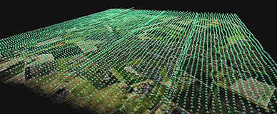
Next-generation photogrammetry software for fast & accurate terrestrial, corridor, and large scale mapping.
Leverage the power of both photogrammetry and terrestrial LiDAR in the same application. Seamlessly export your point cloud into PIX4Dsurvey to create CAD-ready deliverables.

 PIX4Dsurvey
Starting from
Bridging the gap between photogrammetry and CAD.
Extract data from your point cloud and create CAD-ready deliverables. Merge multiple point clouds in one project, utilizing both LiDAR and photogrammetry data. Use smart automation to create TIN and breakline analysis of complex objects.
Starting from
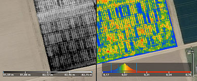
Precision agriculture mapping software for high efficiency and productivity.
Actionable data and insights from drone imagery for crop analysis and digital farming. Create accurate maps in minutes and identify issues using calibrated multispectral or full resolution RGB images. Share your data via PIX4Dcloud or a PDF report.
Can I try Pix4D software?
We offer free trials of our products for a limited duration of time. Automatically available in most regions, with some requiring specific contact with sales. Find out more on the dedicated trial page.
What are my payment options?
Pix4D accepts Visa, MasterCard, American Express, and wire transfers (for amounts above 1500 US$, € or CHF).
Can I purchase just one month?
Pix4D subscriptions are renewed month-to-month or yearly. They can be cancelled at anytime before the renewal date.
Can I get trained on the software?
Yes. We offer several learning paths suiting your needs. Find out more in our training page.
Can I purchase Cloud processing for a PIX4Dmapper licenses?
Yes. For subscriptions, simply add PIX4Dcloud to your plan. For perpetual licences, contact our sales team for more information.
Can I change or cancel my subscription?
You can cancel or make changes to your subscription at any time from your Pix4D user account. Any downgrade changes, including cancellations, will be reflected only at the end of your existing billing cycle. If you cancel your subscription, it will not autorenew and you will not be billed at the end of the current billing cycle. We do not offer refunds.


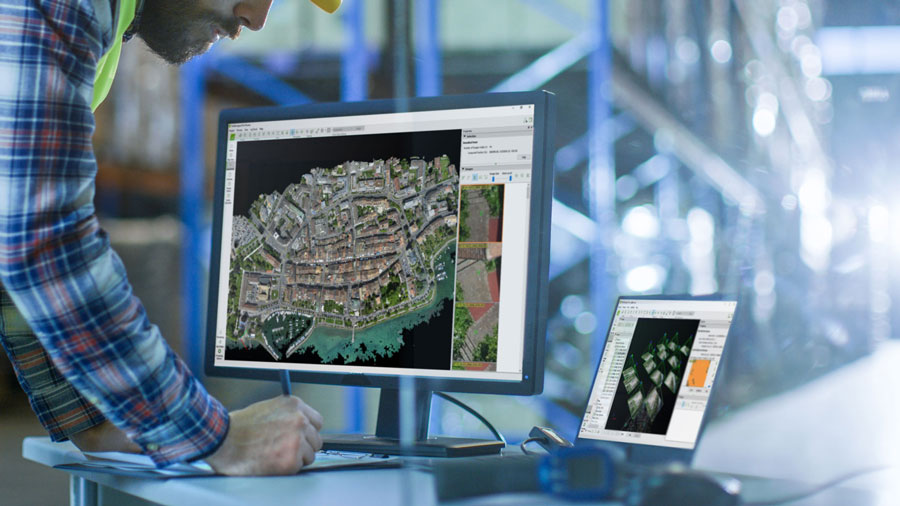 Pix4D photogrammetry software allows the mapping of medium to large areas faster, saving a lot of time and accepting more contracts with the same internal resources.
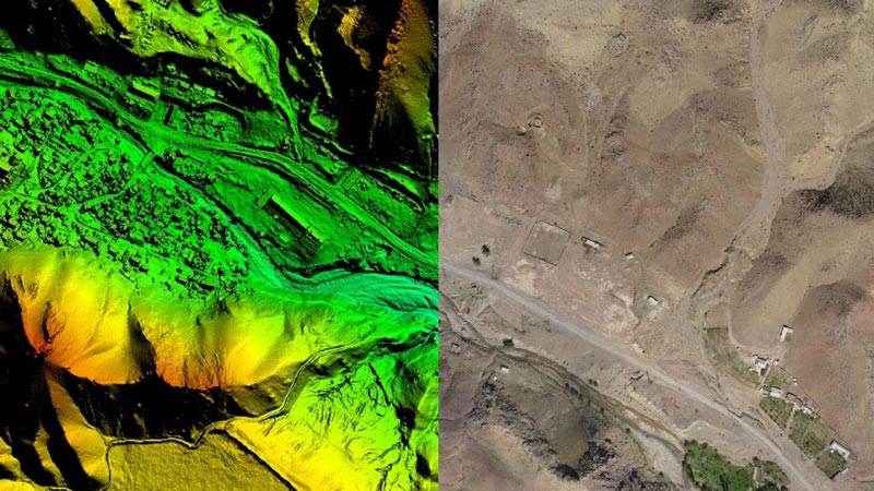 Easily plan the drone flight and capture data using Pix4Dcapture, our free automated flight mobile planning app.
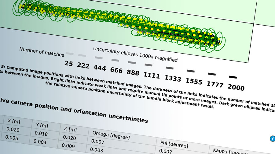 Add ground control points and checkpoints to control and assess the accuracy of your results with a dedicated quality report.
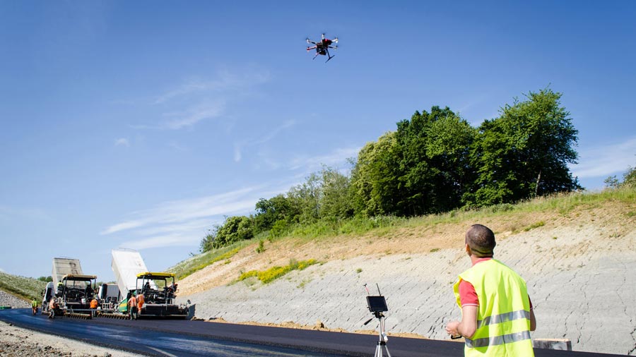 Get your data from a safe place. With drone mapping, there’s no need to climb on stockpiles, get near to cliffs, on a busy road or walk through rough terrain.
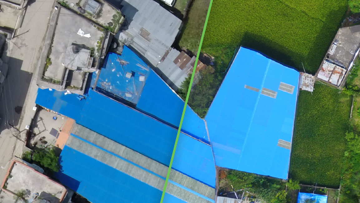 Because of a simple workflow and easily repeatable data capture, maps and models can be easily updated as often as required. Provide daily, weekly or monthly updates of your area of interest at a fraction of the expense.
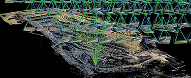
 PIX4Dmapper
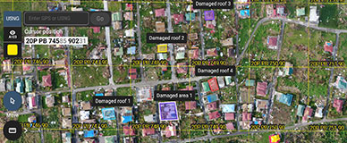
 Starting from