PIX4Dmapper
The leading photogrammetry software for professional drone mapping
Features
Capture
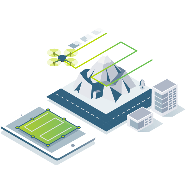 Capture RGB, thermal, or multispectral images with any camera or drone and import them to PIX4Dmapper.
Digitize
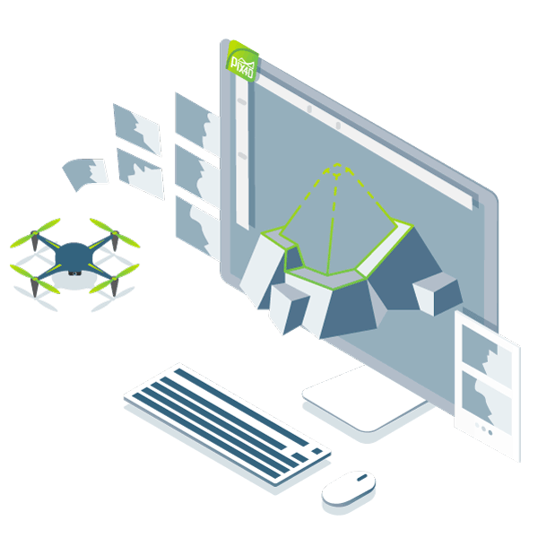 PIX4Dmapper’s photogrammetry algorithms transform your ground or aerial images in digital maps and 3D models.
Seamlessly process your projects on your desktop using our photogrammetry software, or bundle with PIX4Dcloud for online processing.
Control
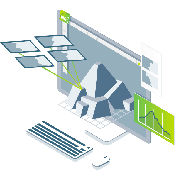 Use the power of photogrammetry in the rayCloud environment to assess, control and improve the quality of your projects.
Use the quality report to examine a preview of the generated results, calibration details, and many more project quality indicators.
Measure & inspect
 Accurately measure distances, areas, and volumes.
Collaborate & share
 Streamline project communication and teamwork.
Selectively and securely share project data and insights, with your team, clients, and suppliers, using standard file formats.
Photogrammetry solution to power applications across industries
Advanced data processing for precise results
Survey-grade results

Complete control over your project
point clouds, DSMs, meshes, and orthomosaics.
 Your workflow, your choice
What do you like best about Pix4Dmapper?
It is one of the most powerful tools for developing orthomosaic for UAV and satellite images. Further, it is very useful for getting different reflectance and orthmosaic rasters for each band. For example, if we use 5 bands multispectral image, finally we can get separate bands like Red, Green, Blue, RedEdge and NIR.Review collected by and hosted on G2.com.
What do you dislike about Pix4Dmapper?
However, sometimes, it does not detect the GCP panels from orthomosaic and also it is difficult to develop the merged band’s raster images from image processing.
PIX4Dcloud
The power of Pix4D on the cloud. The online platform for drone and ground mapping, project tracking, and site documentation.

16% off – billed yearly (USD 1989)
Unlimited PIX4Dcatch processing*
Best plan for generating 2D maps and 3D models that are ready to measure, analyze, and easily share online with team members and stakeholders.
- Cloud processing, storing and sharing (2,500 images or 20 projects/month included)
- Two extra tiers for cloud allowance upgrade (optional)
- Included personal support and updates
16% off – billed yearly (USD 3489)
Unlimited PIX4Dcatch processing*
Best plan for creating multiple datasets, comparing as-built vs as-designed and tracking day-to-day progress.
- Cloud processing, storing and sharing (2,500 images or 20 projects/month included)
- Two extra tiers for cloud allowance upgrade (optional)
- Included personal support and updates
All PIX4Dcloud features plus:
- Timeline
- AutoGCPs
- Overlay tool
- Volume comparison
- 2D comparison


