RealityCapture
Photogrammetry software application for Windows, which enables you to create ultra-realistic 3D models from set of images and/or laser scans.
RealityCapture is the state-of-the-art photogrammetry software solution that is changing the industry. It is currently the fastest solution on the market, which brings effectivity to your work and allows you to focus on your targets.
RealityCapture (RC) is photogrammetry software for creating 3D models out of unordered photographs (terrestrial and/or aerial) or laser scans without seams. The most common fields of its current use are cultural heritage (art and architecture), full body scanning, gaming, surveying, mapping, visual effects (VFX) and virtual reality (VR) in general.
It features include image registration (alignment), automatic calibration, calculating a polygon mesh, colouring, texturing, parallel projections, georeferencing, DSM, coordinate system conversion, simplification, scaling, filtration, smoothing, measurement, inspection, and various exports and imports.[1] The program can be run under the command line. There is also a software developer kit available.[2] RealityCapture is able to mix camera images and laser scans. It is designed to make low demands on hardware. It works linearly, which means if its inputs are doubled, the processing time will be doubled as well. The software is currently available only in English language.
What is Reality Capture?
Reality Capture is a photogrammetry software solution that helps you create 3D models from photographs or laser scans. Reality Capture vastly improves productivity, accuracy, quality, and safety throughout the project.
CAPTURE
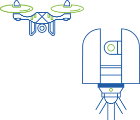
Using hardware such as a laser scanners or camera-mounted UAVs, a site is scanned and a detailed set of data or “points” is captured for further processing.
COMPUTE
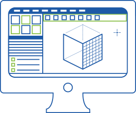
Using Reality Capture software, scan data is automatically registered, stitched into a coordinate system, cleaned up, and analyzed. The final product is a point cloud or mesh ready for CAD and BIM authoring tools.
CREATE
Design with confidence knowing that your base information is a model of up-to-date data of actual site conditions, whether on a building renovation or large scale infrastructure project.
1. Accuracy is everything
With photo-to-point cloud creation and laser scanning, large scale or small, Reality Capture delivers incredible detail at the outset, preventing costly rework later down the line. Each point captured is mapped onto an XYZ coordinate system, for an intelligent survey output that’s ready to export whenever you need it.
Starting with a site scan immediately creates a digitized 3D replica that accelerates the surveying and documentation process, significantly reducing labor costs. Reality Capture creates new and efficient workflows, increases productivity, and reduces time and manual effort required.
3. Less manual work and trips to the jobsite
Armed with digitized data that provides analytical connected insight, surveying specialists can now use their time to point out opportunities or pain points that the design and construction teams may encounter later on instead of spending time doing the tedious manual capture.
4. Start designing in 3D
Reality Capture is the bridge between raw site conditions and an intelligent BIM environment. Once the project is BIM capable, project teams can avoid manual design and documentation rework, which can reduce design schedules by as much as an additional 40% and construction schedules by 30%.
Check out our pricing
PLANS
- Equals to 14,000 Megapixels
- Equals to 582.75M scan points
- No expiry date
- The app will inform you about the actual cost of licensing your input.
- Equals to 32,000 Megapixels
- Equals to 1,332M scan points
- No expiry date
- The app will inform you about the actual cost of licensing your input.
- Perpetual license
- Offline use
- Unlimited number of images and laser scans.
- Floating possibility
- CLI Scripting


