IMAGINE Photogrammetry
A Complete Suite of Photogrammetry Software Tools
IMAGINE Photogrammetry overview
How do you consolidate multiple photogrammetry projects into a single, fast, manageable workflow? Is it possible to reach new levels of production throughput without compromising the detail and accuracy your customers expect or the functionality you have grown accustomed to? How do you handle photogrammetric projects with a variety of different data types and formats?
Today, photogrammetry and production mapping experts are under pressure to produce more in less time, while maintaining a rigorous degree of accuracy. Hexagon’s Safety, Infrastructure & Geospatial division understands this challenge and builds the tools to help you accomplish your goals on time, in scope, and to the preferred accuracy.
IMAGINE Photogrammetry, a seamlessly integrated collection of software tools, enables you to transform raw imagery into reliable data layers required for all digital mapping, raster processing, GIS raster analysis, and 3D visualization needs.
IMAGINE Photogrammetry capabilities
IMAGINE PHOTOGRAMMETRY
Photogrammetry Project Workhorse
IMAGINE Photogrammetry maximizes productivity with state-of-the-art photogrammetric satellite and aerial image processing algorithms.
Save Processing Time
Distribute processing over multiple cores or workstations, effectively maximizing available resources and production output.
Accurate Point Cloud Generation
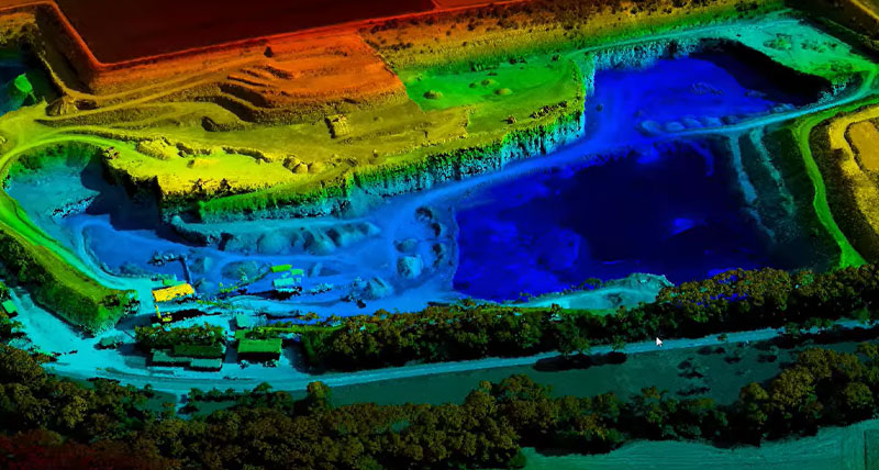
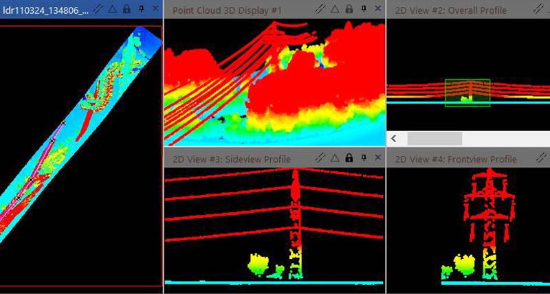
Delineate boundaries with the utmost precision, resulting in denser and more accurately correlated point clouds.
Consolidated to Streamline Your Workflow
Our integrated software platform means robust photogrammetry, GIS, image processing, AND point cloud tools are all made available in one powerful product.
Capabilities
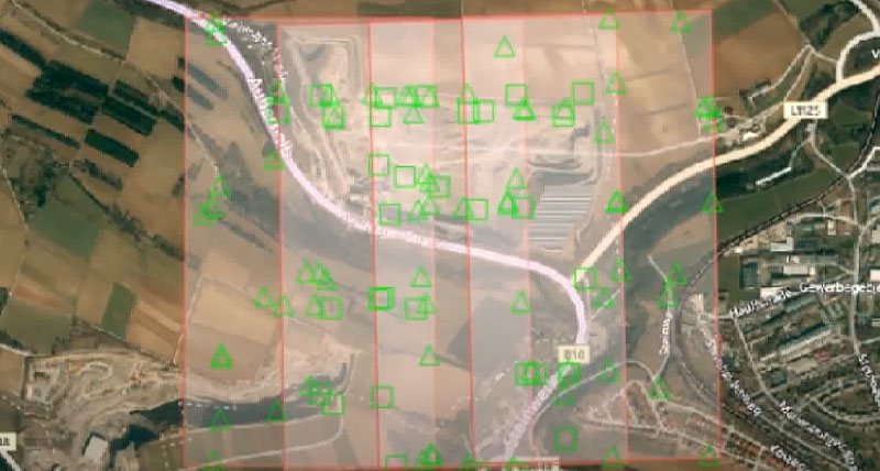
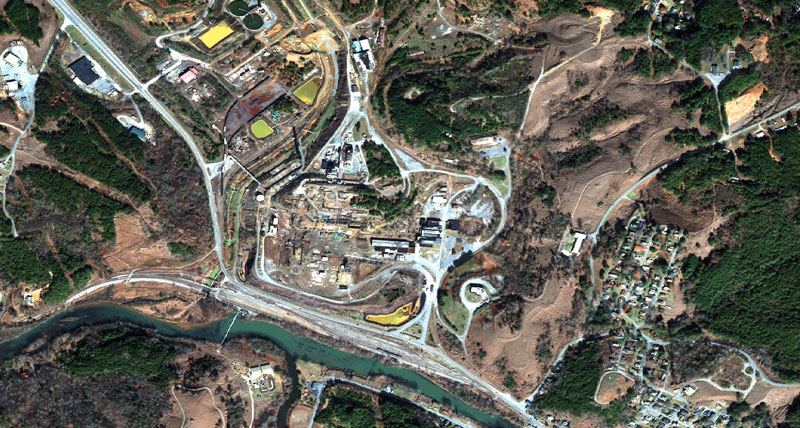
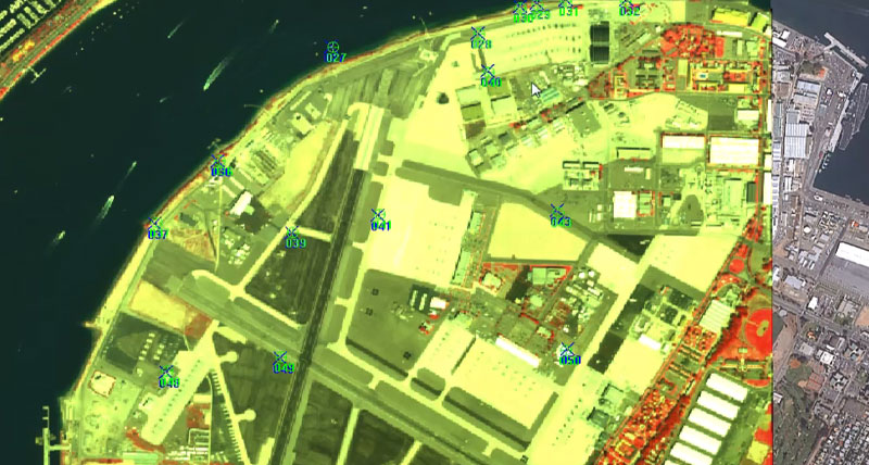
IMAGINE Photogrammetry is generally used for the processing of raw imagery through to the creation of geospatial data products such as digital terrain models, 3D features, and digital orthophotos. There are a number of approaches for photogrammetric applications. Imagery may come from remote sensing satellites, airborne cameras (film or digital), or ground-based cameras. In the context of airborne film cameras, the workflow would involve scanning the imagery (creating a digital version of the film imagery), solving the interior orientation parameters, and triangulating the images. Once the images are triangulated, image pairs may be viewed in stereo and 3D measurements can be made. The system can automatically generate digital terrain models, which can be reviewed and edited in stereo. Once an accurate 3D surface has been derived, triangulated images may be orthorectified. In addition to this workflow, IMAGINE Photogrammetry supports 3D feature extraction, radiometric adjustment, and a number of additional digital image processing capabilities available from ERDAS IMAGINE, which is included with IMAGINE Photogrammetry.

