IMAGINE Photogrammetry A Complete Suite of Photogrammetry Software Tools IMAGINE Photogrammetry overview How do you consolidate multiple photogrammetry projects into a single, fast, manageable workflow? Is it possible to reach…
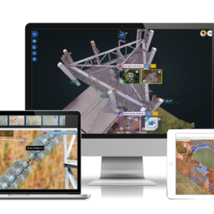
Optelos Delivering geospatial intelligence Visual inspection data management software and AI analytics platform that transforms geospatial inspection data into actionable insights Optelos visual asset inspection software transforms drone data, images…
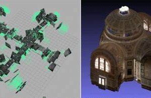
Micmac MicMac, as a photogrammetric tool, stresses the aspects of accuracy, reliability, and provides tools typically unavailable in existing software alternatives, for instance: access to intermediary results in open data…
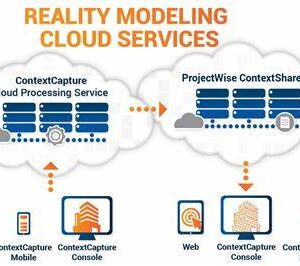
Context Capture Capture, Analyze, And Share Existing Conditions To improve how you design, construct, operate, and collaborate, add real-world digital context to your projects and quickly address infrastructure challenges and make informed…
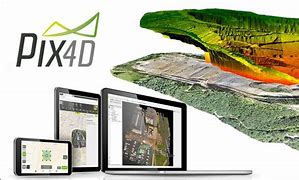
PIX4Dmapper The leading photogrammetry software for professional drone mapping Features Capture Capture RGB, thermal, or multispectral images with any camera or drone and import them to PIX4Dmapper. Digitize PIX4Dmapper’s photogrammetry…
The Best Photogrammetry Software Part of the Tri-Suite64 software package, AutoMeasure is the world’s first and only Automatic Forensic Photogrammetry Software with the ability to produce an accurate bio-metric measurement of a…
Nventify Imagizer Accelerate Your Website & Mobile App With Image Optimization Improve customer experience and increase your search engine rankings. Run it any way you like in containers, public clouds…

